


DIY GPS 【登山用GPSアプリ】 app for iPhone and iPad
Developer: keiji matsumoto
First release : 28 Sep 2010
App size: 3.89 Mb
- DIY GPS makes your iPhone a GPS device for mountaineering.
Want to know where you are now while treking up and down a mountain?
Well, iPhone IS equipped with GPS system.
But you cant orient yourself on the map at mountains because there is no signal.
Heres a solution.
You can get a GPS device for mountaineering, if you put the map and this DIY GPS app into iPhone.
DIY GPS enable your iPhone to be a navigation system even theres no signal.
So download this DIY GPS!
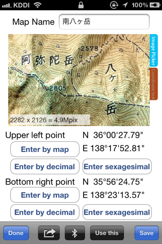
First, you need to load a map as an image data.
Then, set the longitude and latitude of two points of the map.
The points are upper-left and lower-right.
Just that, your iPhone turns into GPS device for mountaineering!
No need to get 3G signal.
Only DIY GPS and the map and the blue sky is needed.
It tells you all your needed information!
such as...
- Where you are now on the map
- How far from the destination
- Current altitude
- The trail you have walked
* Some usage examples follow.
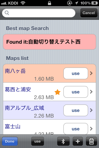
· You can use GPS on your original map such as marine charts, Historical Maps, and the paper maps with your hand-writing memo on it. (need to scan that paper maps)
· Record tracks with GPS logger function.
· Display longitude and latitude, altitude, current moving speed, orientation, accuracy level on GPS. To make sure of your current status.
· Set the destination. Display the distance and direction. So that youd clearly know which way you should take.
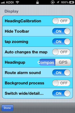
· Can show the map based North-up view or Heading-up view. Choose either you like.
*Note ;
· When you scan or load the maps, use conformal projection. The maps should be North-up properly. Also, you should set the longitude and latitude of said two points correctly. If these are incorrect, it cant calculate the present location justly.
· Unusable for places like extremely at high latitude due to high-latitude distortion on conformal projection map.
· GPS coordinates can be a little off depends on geography. It happens when you are in valleys, dales, indoors, under the roof, near big rocks. At that time, the blue circle which indicates GPS accuracy level get bigger. The bigger this circle, the lower credit.
· The electronic compass also can go crazy near things emit a magnetism. Like in the train or near the transmission line. So dont trust too much.
· For your safety, stop walking to handle iPhone. It would be dangerous to check the screen and walk the mountain path at the same time. You might take slip drop.
· Continued use of GPS running in the background can dramatically decrease battery life.